Services


 Services
Subsurface Utility Engineering Solution
Utility mapping and Scan the underground with total flexibility and obtain clear visualizations of the subsurface existing utility, in real-time.
Having a clear view of the complex network of existing utilities underground is crucial to prevent costly damage, optimize construction projects, ensure safe digging and assist with excavation to ensure no more damage.
Explore the versatile solutions for subsurface utility mapping (SUE Survey) with high efficiency
SUE utilities surveying
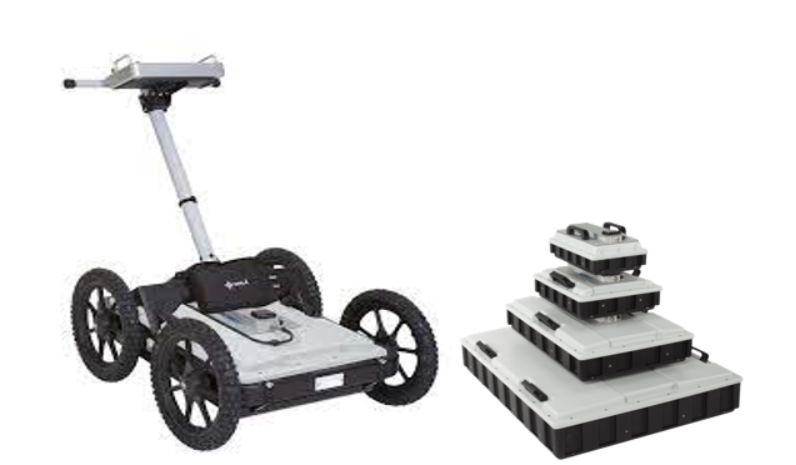
Scan and digitize the subsurface with clear image of utilities as you walk. Using multiple frequency antenna GPR to accurate and precise measure existing utility position.
GPR data analysis
Collection of GPR raw Data on field to compile and analyze using software to extract next level of clear data deliverable. After Data Analyzing we will compile SUE Survey final report for submission our client


Our Featured Services

By virtue of engagement & managing large-scale construction projects, Civil Construction becomes

The planning of your project starts here. Working together with your architect.

By virtue of engagement & managing large-scale construction projects, Civil Construction becomes

Mechanical, Electrical, Plumbing, and Fire system designs are the lifelines of
Our electrical engineering expertise consists of providing power, lighting and control systems for

Perlee Engineering - Road Construction Services – Testing and evaluating the

